Subscribe
59°

Frost, Flooding, And A Coastal Storm: NJ Weather Turns Cooler, Drier, Forecasters Say
After a stretch of unseasonably warm weather, temperatures across New Jersey are expected to plunge into the 30s and 40s as the state turns cooler, drier, and breezier heading into the weekend, according to the National Weather Service in Mount Holly.
Morning showers on Wednesday, Oct. 8, gave way to clearing skies and much cooler air. Lows tonight will dip into the 40s inland, the upper 30s across higher elevations, and near 50 along the coast.
Thursday will bring sunny skies and highs in the low 60s, with a risk of frost or freeze conditions across portions of New Jersey and eastern Penns…
Code Orange Air Quality Alert Issued Across NJ As Heat, Humidity Build
The New Jersey Department of Environmental Protection has issued a Code Orange Air Quality Action Day for 12 counties across New Jersey until 11 p.m. Monday, Aug. 11.
The alert covers Bergen, Passaic, Hudson, Essex, and Union counties, as well as Sussex, Warren, Morris, Hunterdon, Somerset, Middlesex, and Mercer counties.
Check your town's air quality here.
A Code Orange day means ground-level ozone in the region may approach or exceed unhealthy standards, especially for sensitive groups such as children, older adults, and people with heart or lung conditions.
Residents are advised to lim…
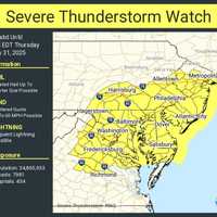
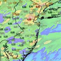
10,000 Without Power Due To Storm: See Rainfall Totals In NJ So Far
Torrential downpours and flash flooding triggered widespread power outages and traffic disruptions across New Jersey on Thursday, July 31.
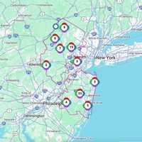
As of 9 p.m., more than 10,000 residents were without power.
PSE&G reported:
2,812 outages in Middlesex County, including 2,680 in Woodbridge
883 outages in Somerset County, mostly in North Plainfield
JCP&L reported more than 7,000 outages in Ocean County, including:
5,129 in Manchester
995 in Ocean Gate
586 in Berkeley Township
Utility crews were working through the night to restore power as the storms continued into the evening.
As of 8:50…
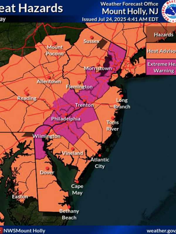
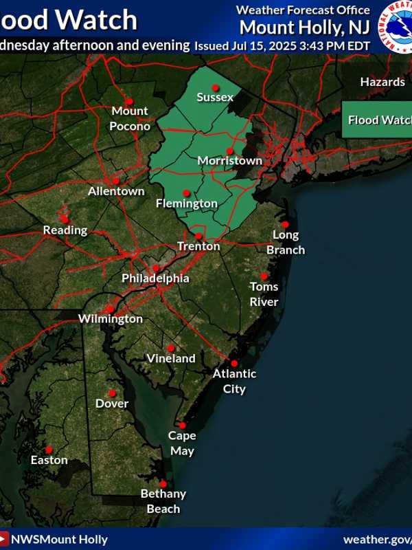
Flood Watch, Heat Advisory Issued For NJ As State Recovers From Deadly Storms
Just one day after a fast-moving storm swept through New Jersey, causing dramatic rescues, a home explosion, and multiple deaths, officials have issued both a Flood Watch and Heat Advisory for the region.
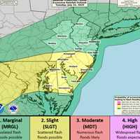
The Flood Watch, issued by the National Weather Service in Mount Holly, warns that flash flooding is possible in seven New Jersey counties from Wednesday afternoon, July 16, through late Wednesday night.
The counties include Sussex, Warren, Morris, Hunterdon, Somerset, Middlesex, and Mercer, affecting cities such as New Brunswick, Morristown, Newton, Flemington, Trenton, and Somerville, of…
State Of Emergency Declared: Cars Submerged, Hundreds Without Power As Storms Sweep Through NJ
New Jersey Gov. Phil Murphy declared a state of emergency Monday evening, July 14, as storms swept through the state.
At 8:45 p.m., NJ Transit announced major impacts across multiple rail lines due to weather-related conditions.
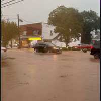
Severe flooding left cars underwater with drivers stranded, and thousands without power. Some of those areas include Route 22 in Scotch Plains, local streets in Cranford, Edgewater, and Teaneck, Route 287, and Route 78.
Our crews were on the scene in Scotch Plains, New Jersey, where they witnessed a dramatic water rescue unfold.A flash flood warning i…